Site Information
Trio Lakes
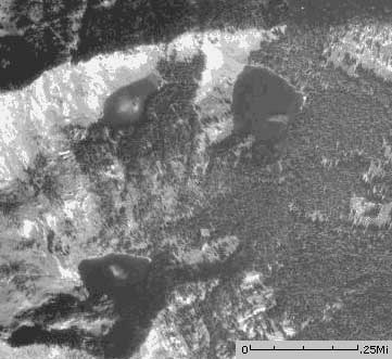 Classification: Lake
Latitude: 46.9341°
Longitude: -114.9404°
Elevation: 6002 ft.
Area: Fish Creek Stateline
Legal Description: T14N,R26W,sec31 MT
UTMZone: 656773, 5199900
The 7.5 minute series USGS topographic maps for that area
| Illinois Peak | Landowner Mountain | Lozeau |
| Hoodoo Pass |
Straight Peak SW | Saint Patrick Peak |
| ? | Bruin Hill | Schley Mountain |
Switch to TerraServer - Topo Map
Switch to TerraServer - Aerial Photo(If Avail.)
Switch to Maptech MapServer
Switch to TopoZone MapServer
Switch to TopoWest Quad MapServer