Site Information
Oregon Lakes
 Classification: Lake
Latitude: 47.0532°
Longitude: -115.0935°
Elevation: 6001 ft.
Area: Superior South
Legal Description: T43N,R11E,sec20 ID
UTMZone: 644797, 5212840
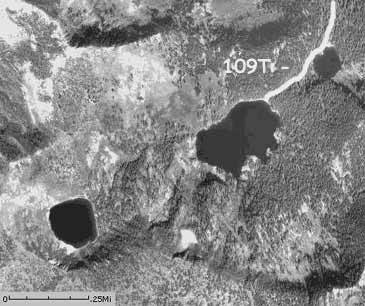
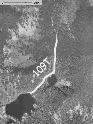
Trail Map:
|
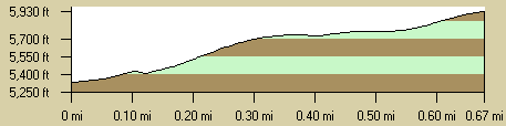
Trail Profile:
|
The 7.5 minute series USGS topographic maps for that area
| Torino Peak | Wilson Gulch | Superior |
| Sherlock Peak |
Illinois Peak SW | Landowner Mountain |
| ? | Hoodoo Pass | Straight Peak |
Switch to TerraServer - Topo Map
Switch to TerraServer - Aerial Photo(If Avail.)
Switch to Maptech MapServer
Switch to TopoZone MapServer
Switch to TopoWest Quad MapServer