Site Information
Hazel Lake
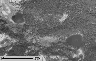 Classification: Lake
Latitude: 47.2727°
Longitude: -115.3663°
Elevation: 5451 ft.
Area: West End South
Legal Description: T45N,R9E,sec6 ID
UTMZone: 623568, 5236763
Connections: Hazel-hub Lakes Trail 280
Trail Map:
|

Trail Profile:
|

The 7.5 minute series USGS topographic maps for that area
| Haugan | De Borgia North | Penrose Peak |
| McGee Peak |
De Borgia South SW | Boyd Mountain |
| ? | Berge Peak | Torino Peak |
Switch to TerraServer - Topo Map
Switch to TerraServer - Aerial Photo(If Avail.)
Switch to Maptech MapServer
Switch to TopoZone MapServer
Switch to TopoWest Quad MapServer