Site Information
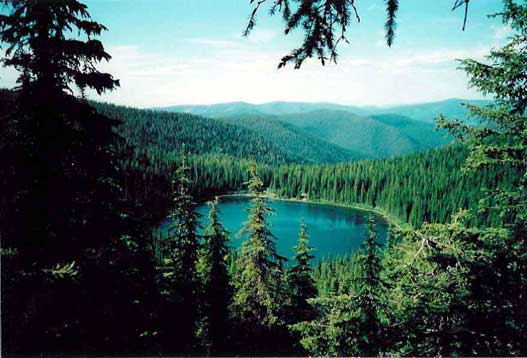
Silver Lake
 Classification: Lake
Latitude: 47.3591°
Longitude: -115.5666°
Elevation: 5399 ft.
Area: West End South
Legal Description: T46N,R7E,sec4 ID
UTMZone: 608242, 5246067
Directions:
6 miles of USFS road from the town of Saltese
Trail Map:
|

Trail Profile:
|
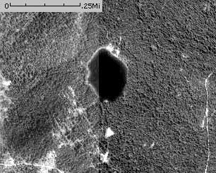
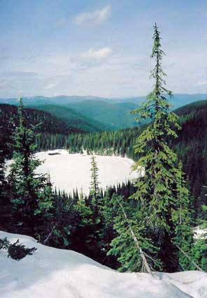
Photo:
|
The 7.5 minute series USGS topographic maps for that area
| Lookout Pass | Saltese | Haugan |
| ? |
NW Adair | McGee Peak |
| ? | ? | ? |
Switch to TerraServer - Topo Map
Switch to TerraServer - Aerial Photo(If Avail.)
Switch to Maptech MapServer
Switch to TopoZone MapServer
Switch to TopoWest Quad MapServer