Site Information
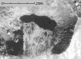
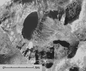
Pearl Lake
 Classification: Lake
Latitude: 46.9441°
Longitude: -114.9607°
Elevation: 6427 ft.
Area: Superior South
Legal Description: T42N,R12E,sec33 ID
UTMZone: 655198, 5200971
Photo:
|
The 7.5 minute series USGS topographic maps for that area
| Illinois Peak | Landowner Mountain | Lozeau |
| Hoodoo Pass |
NW Straight Peak | Saint Patrick Peak |
| ? | Bruin Hill | Schley Mountain |
Switch to TerraServer - Topo Map
Switch to TerraServer - Aerial Photo(If Avail.)
Switch to Maptech MapServer
Switch to TopoZone MapServer
Switch to TopoWest Quad MapServer